Mount Damper Falls, Tahora, Manawatū-Whanganui
Map

Map

Facts and practical information
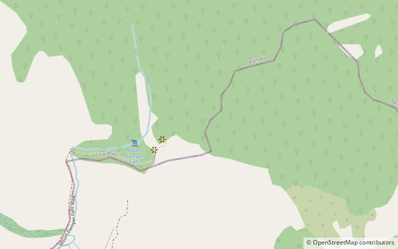
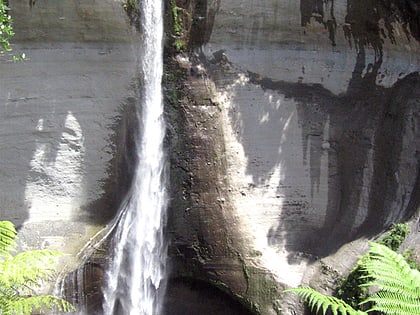
Mount Damper Falls is a waterfall in the North Island of New Zealand on a tributary, Mount Damper Stream, of the Tongapōrutu River. ()
Coordinates: 38°55'10"S, 174°47'24"E
Address
Tahora, Manawatū-Whanganui
ContactAdd
Social media
Add
