Lake Rotopounamu, Tongariro National Park
Map

Map

Facts and practical information
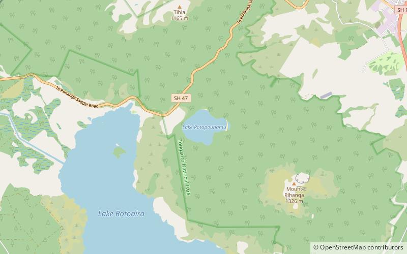
Lake Rotopounamu is a secluded lake in the Pihanga Scenic Reserve, in the Tongariro National Park in New Zealand's Central North Island. It lies at the northwest foot of Mt Pihanga, and was formed by a landslide around 10,000 years ago. The lake is fed by seven streams, but has no visible surface outflow. It is believed to drain underground. ()
Alternative names: Length: 4150 ftWidth: 3363 ftMaximum depth: 30 ftElevation: 2352 ft a.s.l.Coordinates: 39°1'36"S, 175°44'17"E
Address
Tongariro National Park
ContactAdd
Social media
Add
Day trips
Lake Rotopounamu – popular in the area (distance from the attraction)
Nearby attractions include: Pihanga, Lake Rotoaira, Tongariro National Trout Centre.


