Te Puke Volcano
Map
Facts and practical information
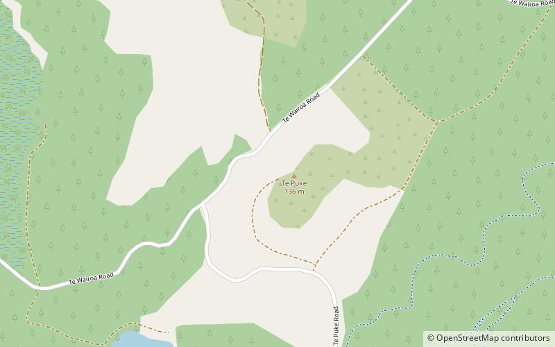
Te Puke is a 136 metres high group of basaltic scoria cones, in the Kaikohe-Bay of Islands volcanic field in Northland, New Zealand. It is the easternmost volcano of the field, being located near Waitangi. The three or four small, cratered cones are in a southwest–northeast alignment. The last eruption was 1300 to 1800 years ago. ()
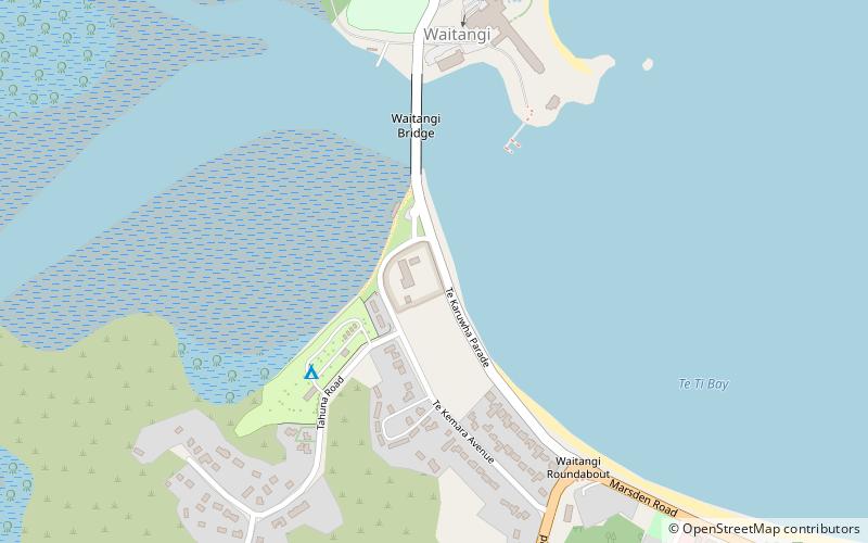
Coordinates: 35°15'7"S, 174°1'48"E
Location
Northland
ContactAdd
Social media
Add
Day trips