Pirongia Forest Park, Pirongia
Map

Map

Facts and practical information
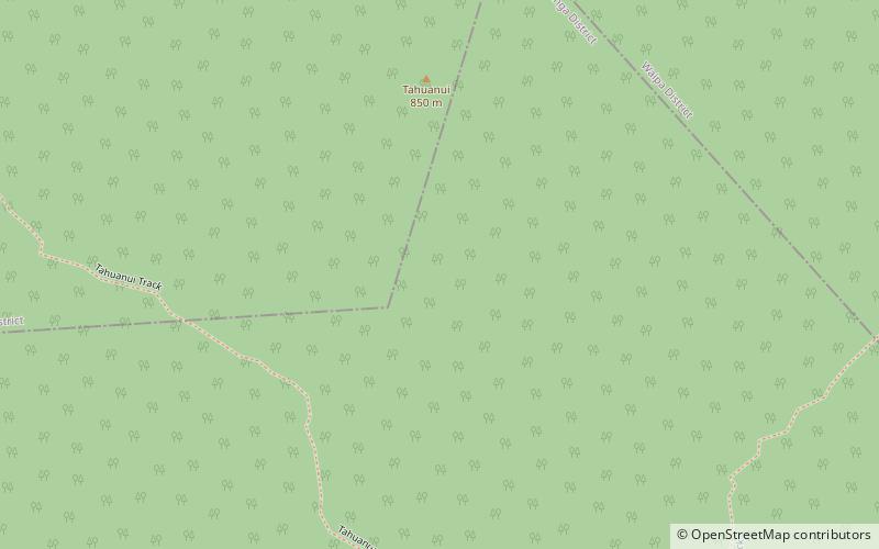
Pirongia Forest Park is a protected area 30 km southwest of Hamilton, New Zealand. It covers 167.7 square kilometres across four blocks of land - Pirongia, Te Maunga O Karioi Block, and the small Mangakino Block and Te Rauamoa Block. The park encompasses Mount Pirongia west of Pirongia and Mount Karioi near the coast southwest of Raglan. Wairēinga / Bridal Veil Falls Scenic Reserve is also in the area, but is separate to Pirongia Forest Park. ()
Established: 1971 (55 years ago)Elevation: 2651 ft a.s.l.Coordinates: 37°58'60"S, 175°6'0"E
Day trips
Pirongia Forest Park – popular in the area (distance from the attraction)
Nearby attractions include: Mount Pirongia.

