Kakepuku

Gallery (4)
Map

Map
Gallery
Facts and practical information
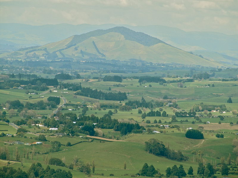
Kakepuku is a volcanic cone which rises from the plain between the Waipā and Puniu rivers, about 3 km NW of Te Kawa and 8 km SW of Te Awamutu in the Waikato region of New Zealand's North Island. ()
Elevation: 1473 ftCoordinates: 38°3'58"S, 175°15'0"E
Location
Waikato
ContactAdd
Social media
Add
Day trips