Ewing Island

Gallery (1)
Map

Map
Facts and practical information
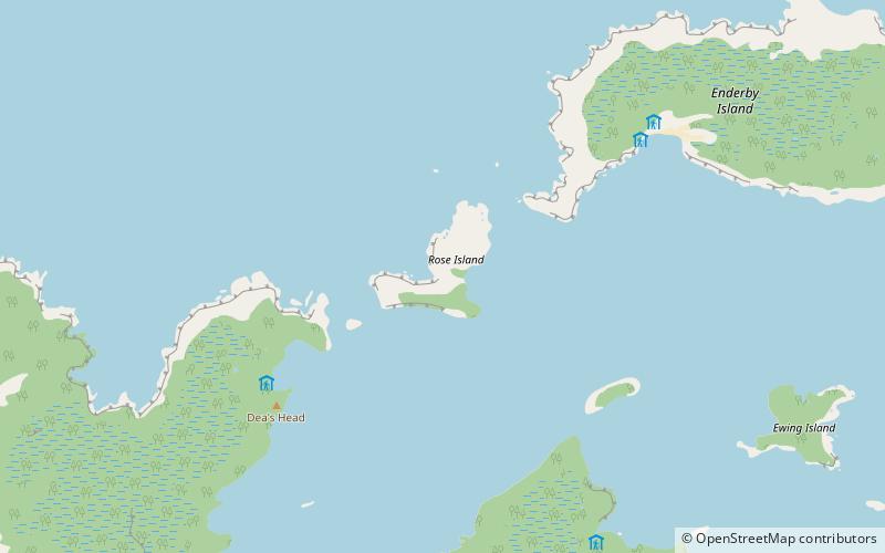
Ewing Island is an uninhabited island, part of the Auckland Islands group, a subantarctic chain that forms part of the New Zealand outlying islands. It lies in the north-east of the group, close to the mouth of Port Ross, immediately to the south of the larger Enderby Island and off the north-eastern tip of the main Auckland Island. ()
Area: 148.26 acres (0.2317 mi²)Archipelago: Auckland IslandsCoordinates: 50°31'43"S, 166°18'14"E
Location
Southern Islands
ContactAdd
Social media
Add
Day trips