St Saviour's Chapel, Christchurch
Map
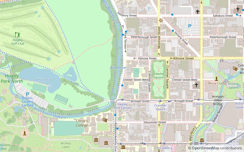
Map

Facts and practical information
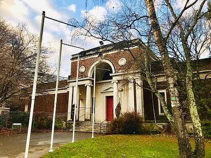
St Saviour’s at Holy Trinity is an Anglican church in Lyttelton, Christchurch, New Zealand. St Saviour's Chapel was relocated from West Lyttelton to Christchurch's Cathedral Grammar School in the 1970s. Following the earthquakes and the demolition of Holy Trinity Church, Lyttelton, St Saviour's was returned to Lyttelton to the site of Holy Trinity in 2013. ()
Coordinates: 43°31'39"S, 172°37'41"E
Day trips
St Saviour's Chapel – popular in the area (distance from the attraction)
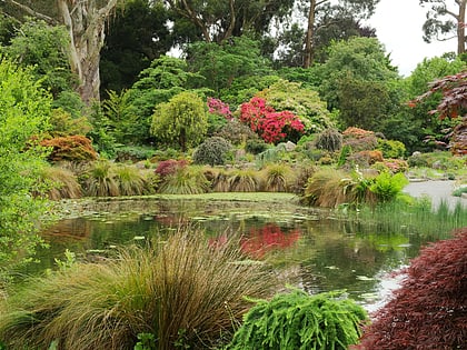
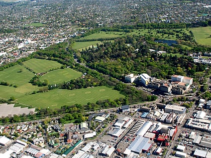
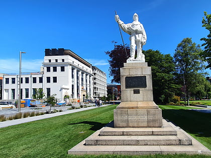
Nearby attractions include: Christchurch Botanic Gardens, Hagley Park, Canterbury Museum, Statue of Robert Falcon Scott.
Frequently Asked Questions (FAQ)
Which popular attractions are close to St Saviour's Chapel?
Nearby attractions include Christ's College, Christchurch (5 min walk), Christ's College Big School, Christchurch (6 min walk), Statue of William Rolleston, Christchurch (6 min walk), Christ's College Chapel, Christchurch (6 min walk).
How to get to St Saviour's Chapel by public transport?
The nearest stations to St Saviour's Chapel:
Bus
Tram
Train
Bus
- Park Tce near Chester St W • Lines: 17 (1 min walk)
- Rolleston Ave near Gloucester St • Lines: 17 (5 min walk)
Tram
- Hagley Park Corner (3 min walk)
- Cranmer Square (5 min walk)
Train
- Christchurch (34 min walk)

