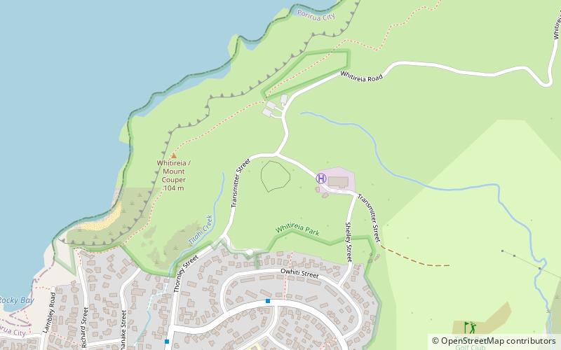
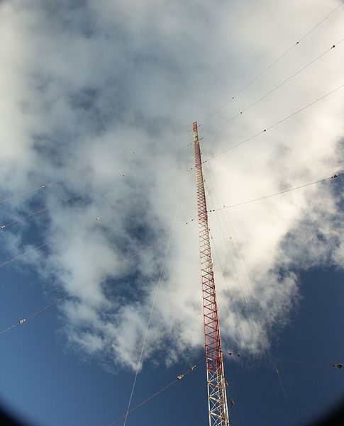
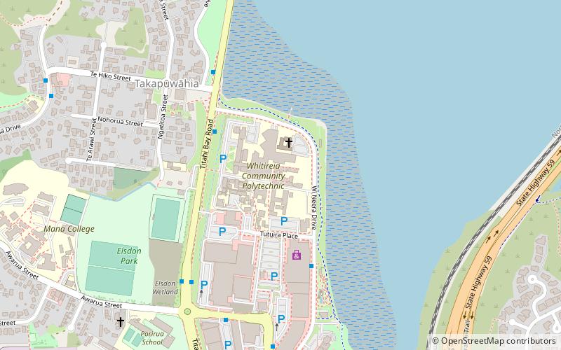
Titahi Bay Transmitter, Porirua

Gallery (2)
Map
Map
Gallery
Facts and practical information
The Titahi Bay Transmitter, which until 16 February 2016 was New Zealand's second tallest structure, transmitted AM radio signals from a 220 metres tall radio mast insulated against ground at Titahi Bay in New Zealand. The station which previously had three masts, now consists of only one mast with a height of 137 metres. A third - smaller - mast with a height of 53 metres was toppled on 10 November 2015. The tower and its surrounding buildings were opened in 1937. Five radio stations broadcast from the transmitter: ()
Address
Porirua
ContactAdd
Social media
Add
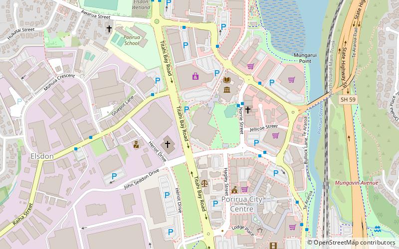
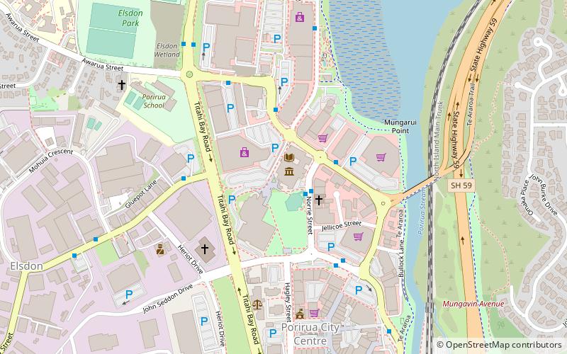
Getting there by public transportation
Public transportation stops near this location
- Bus
 Bus
Bus
- Calculate routeDimock Street opposite Herewini Street 6 min walk
- Calculate routeThornley Street at Dimock Street 9 min walk
Day trips


Frequently Asked Questions (FAQ)
How to get to Titahi Bay Transmitter by public transport?
The nearest stations to Titahi Bay Transmitter:
Bus
Bus
- Dimock Street opposite Herewini Street • Lines: 220 (6 min walk)
- Thornley Street at Dimock Street • Lines: 220 (9 min walk)