Urupukapuka Island

Gallery (1)
Map
Map
Facts and practical information
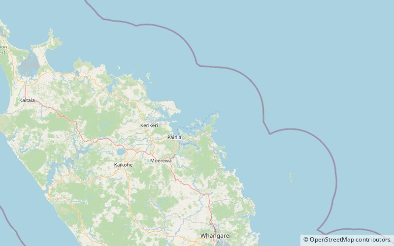
Urupukapuka Island is the largest island in the Bay of Islands of New Zealand, located about 7.3 km from Paihia. The island is a popular stopover point for tour boats to the Hole in the Rock and is also serviced by ferries for day trips from Paihia and Russell. ()
Area: 1.13 mi²Maximum elevation: 348 ftCoordinates: 35°13'0"S, 174°13'1"E
Location
Northland
ContactAdd
Social media
Add
Day trips


