Little Rangitoto, Auckland
Map
Map

Facts and practical information
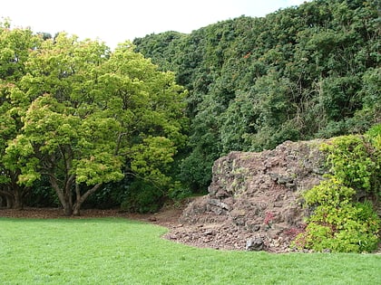
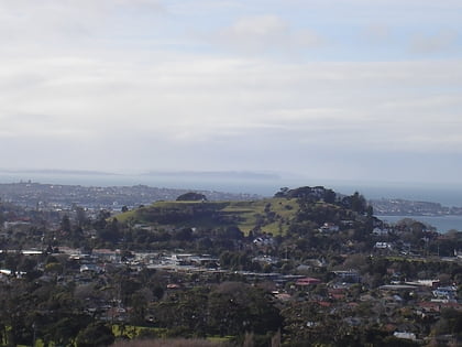
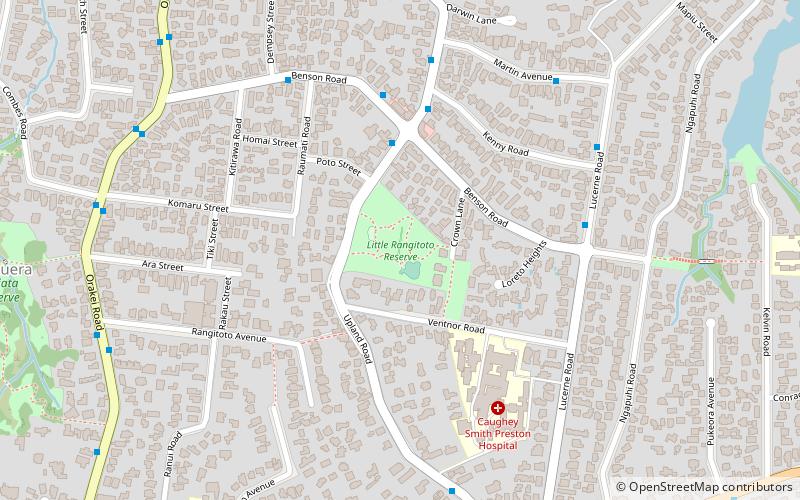
Little Rangitoto is a volcano in the Auckland volcanic field in Remuera, New Zealand. The name Maungarahiri refers to Rāhiri, an ancestor of Ngāpuhi, who journeyed around the North Island. In the 1700s and early 1800s, the volcano was the site of Ngāti Whātua-o-Ōrākei seasonal farms. ()
Elevation: 190 ft a.s.l.Coordinates: 36°52'32"S, 174°48'36"E
Day trips
Little Rangitoto – popular in the area (distance from the attraction)
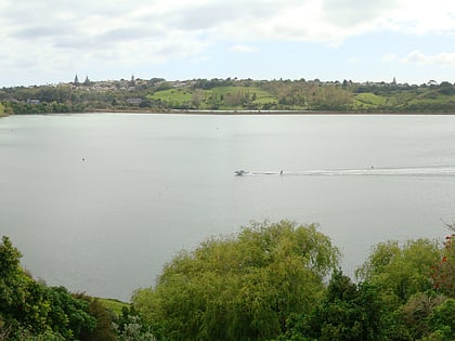
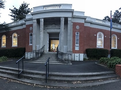
Nearby attractions include: Remuera, Ōrākei Basin, Remuera Library, Ellerslie Racecourse.
Frequently Asked Questions (FAQ)
Which popular attractions are close to Little Rangitoto?
Nearby attractions include Remuera, Auckland (10 min walk), Ōrākei Basin, Auckland (16 min walk), Remuera Library, Auckland (18 min walk).
How to get to Little Rangitoto by public transport?
The nearest stations to Little Rangitoto:
Train
Train
- Meadowbank (23 min walk)
- Ōrākei (24 min walk)
