Wainoni, Christchurch

Gallery (1)
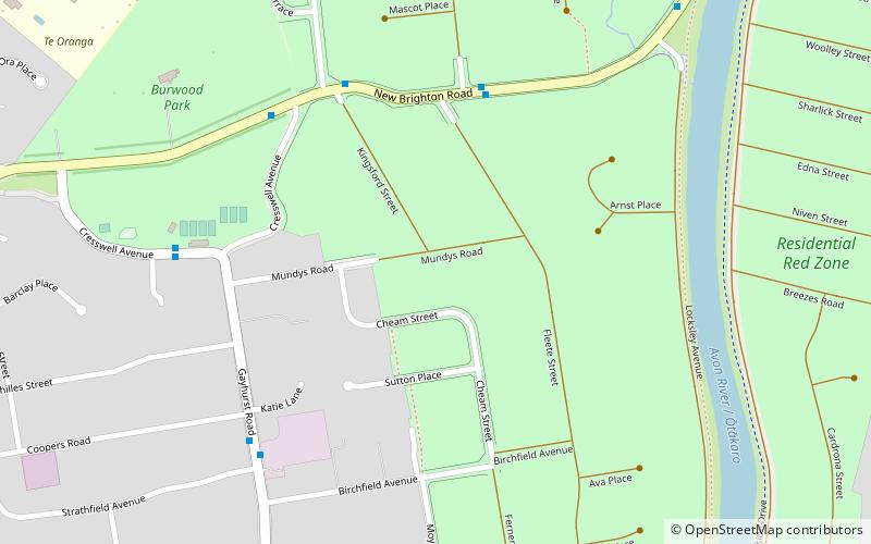
Map
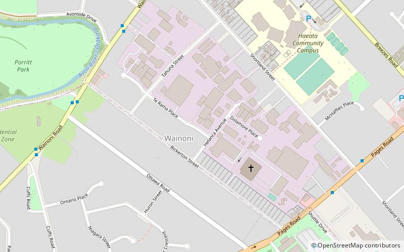
Map
Facts and practical information
Wainoni is one of the eastern suburbs of Christchurch. It is a lower socio-economic area. ()
Coordinates: 43°31'4"S, 172°41'31"E
Address
WainoniChristchurch
ContactAdd
Social media
Add
Day trips