Hen and Chicken Islands
Map

Map

Facts and practical information
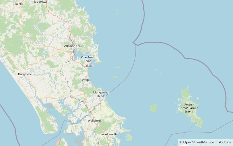
The Hen and Chicken Islands lie to the east of the North Auckland Peninsula off the coast of northern New Zealand. They lie 12 kilometres east of Bream Head and 40 kilometres south-east of Whangarei with a total area of 8.44 km2. ()
Alternative names: Area: 3.01 mi²Maximum elevation: 1368 ftTotal islands: 9Coordinates: 35°55'60"S, 174°43'59"E
Location
Northland
ContactAdd
Social media
Add
