Elizabeth Island
Map

Map

Facts and practical information
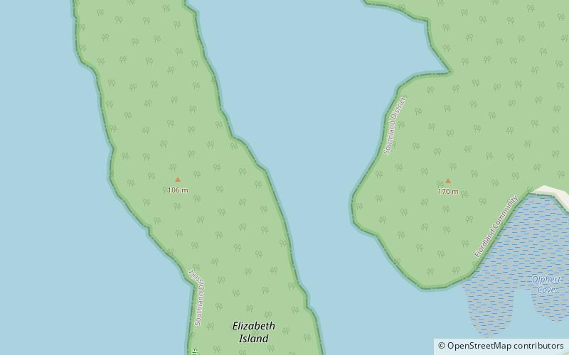
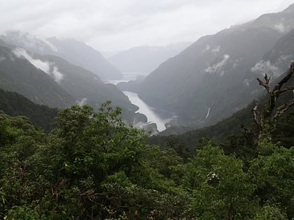
Elizabeth Island is the largest island in the inner Doubtful Sound, in Fiordland National Park, in New Zealand's South Island. It was created during the last glaciation, its narrow long shape aligned with the direction of the fiord. The island is uninhabited and entirely covered in dense native bush. ()
Area: 148.26 acres (0.2317 mi²)Maximum elevation: 384 ftCoordinates: 45°24'57"S, 167°7'23"E
Location
Southland
ContactAdd
Social media
Add
Day trips
Elizabeth Island – popular in the area (distance from the attraction)
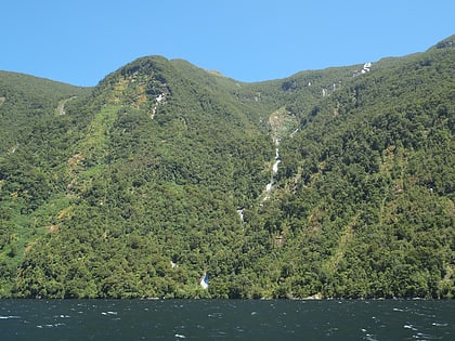
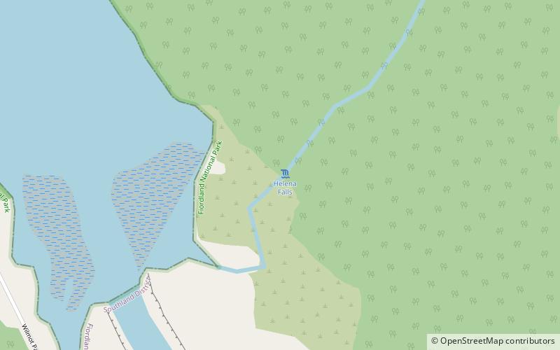
Nearby attractions include: Browne Falls, Lady Alice Falls, Helena Falls.


