Himatangi
Map

Map

Facts and practical information
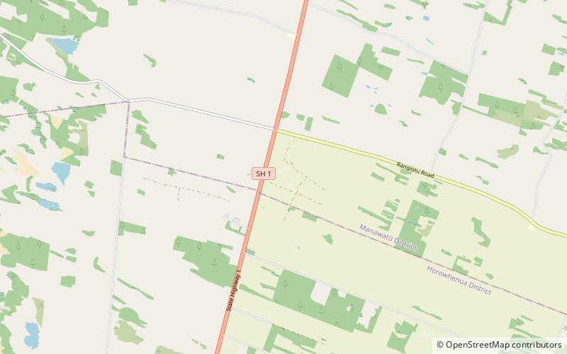
Himatangi is a small settlement in the Manawatū-Whanganui region of New Zealand's North Island. It is located at the junction of State Highways 1 and 56, 25 kilometres west of Palmerston North, and seven kilometres east of the coastal settlement of Himatangi Beach. ()
Population: ~540 pplCoordinates: 40°24'0"S, 175°19'1"E
Location
Manawatu-Wanganui
ContactAdd
Social media
Add
Day trips
Himatangi – popular in the area (distance from the attraction)
Nearby attractions include: Te Awahou Nieuwe Stroom, Oranjehof, Foxton Beach.


