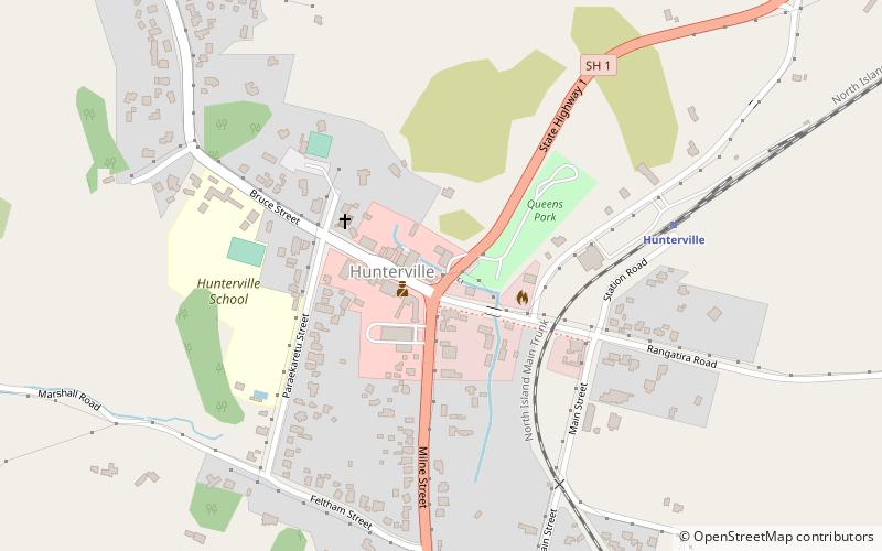
Hunterville
Map

Map

Facts and practical information
Hunterville is a small community on State Highway 1, in the Rangitikei district of the North Island of New Zealand. It is located halfway between Taupo and Wellington and has a population of 411, a decrease of 18 people from 2013. ()
Population: ~520 pplCoordinates: 39°56'10"S, 175°34'8"E
Location
Manawatu-Wanganui
ContactAdd
Social media
Add
Day trips
Hunterville – popular in the area (distance from the attraction)
Nearby attractions include: Bruce Park Scenic Reserve, Vinegar Hill.


