Ngongotahā Travel Guide
Facts and practical information
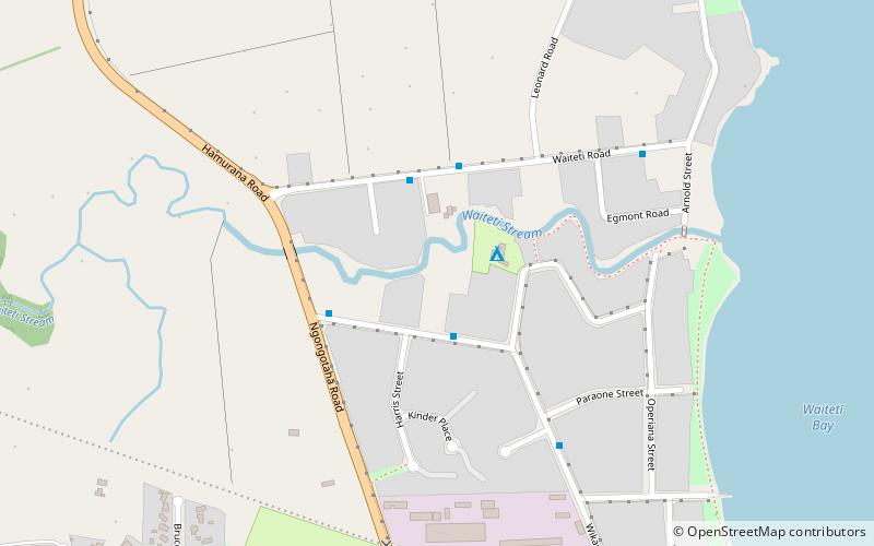
Located in the picturesque Bay of Plenty region on the North Island of New Zealand, Ngongotahā is a charming town that offers a delightful mix of natural beauty and cultural experiences. Nestled against the stunning backdrop of Mount Ngongotahā and surrounded by lush green landscapes, this town is a haven for outdoor enthusiasts and nature lovers.
One of the main attractions in Ngongotahā is the Skyline Rotorua, a must-visit destination for adventure seekers. Hop aboard the scenic gondola ride and be treated to breathtaking panoramic views of the surrounding countryside. Once at the top, get your adrenaline pumping with thrilling activities such as luge racing, zip-lining, or taking a scenic nature walk. For those seeking a more laid-back experience, the Skyline Rotorua also offers a delectable buffet lunch or dinner with stunning views as a backdrop.
For a taste of the local culture, immerse yourself in the Maori heritage at the Whakarewarewa Village. Here, you can witness the unique lifestyle of the Maori people and learn about their traditions, customs, and arts. Take a guided tour through the village to see the geothermal wonders, including bubbling mud pools and erupting geysers, which have been an integral part of the Maori way of life for centuries.
Ngongotahā is also a gateway to the famous Redwoods Forest. Known for its towering Californian redwood trees, this forest offers a tranquil escape from the hustle and bustle of everyday life. Explore the well-maintained walking and cycling trails that wind through the forest, allowing you to admire the majestic trees and breathe in the fresh air. The Redwoods Forest is also a popular spot for mountain biking enthusiasts, with a variety of trails catering to all skill levels.
After a day of adventure and exploration, indulge in the local cuisine at one of Ngongotahā's charming eateries. Sample traditional Maori dishes or savor international flavors at the town's restaurants and cafes, which offer a range of options to suit every palate.
Bay of Plenty
Ngongotahā Attractions - What to See and Explore
Ngongotahā offers many attractions and places to visit. Here are the most important ones: Okere Falls, aMAZEme. Below you will find a complete list of places worth visiting.


Best Time To Visit Ngongotahā
Learn when is the best time to travel to Ngongotahā weather-wise and what to expect in each season.