
Secretary Island Travel Guide
Facts and practical information
Nestled in the remote and rugged Southland region of New Zealand, Secretary Island offers a truly unique and untouched experience for travelers seeking adventure and natural beauty. This uninhabited island is part of the Fiordland National Park and is only accessible by boat or helicopter, making it a secluded and pristine destination for those looking to escape the hustle and bustle of city life.
The island is a haven for outdoor enthusiasts, with opportunities for hiking, bird watching, and wildlife spotting. Secretary Island is home to a variety of native bird species, including the rare and endangered takahe, as well as seals and dolphins that can often be spotted along its shores. The untouched rainforest and rugged coastline provide a stunning backdrop for exploration and photography, and the crystal clear waters surrounding the island are perfect for kayaking and snorkeling.
For those interested in Maori culture and history, Secretary Island also holds significant cultural importance. The island is part of the traditional territory of the Ngai Tahu tribe, and there are ancient Maori archaeological sites scattered throughout the island, offering a unique opportunity to learn about the rich history and heritage of the area.
Southland
Secretary Island Attractions - What to See and Explore
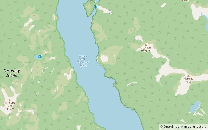
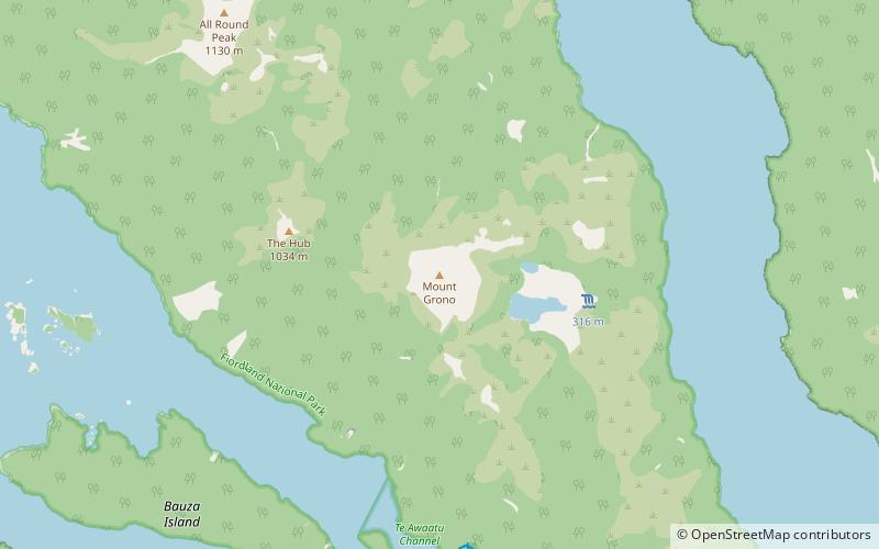
Secretary Island offers many attractions and places to visit. Here are the most important ones: Te Awa-o-Tū / Thompson Sound, Mount Grono. Below you will find a complete list of places worth visiting.
Best Time To Visit Secretary Island
Learn when is the best time to travel to Secretary Island weather-wise and what to expect in each season.