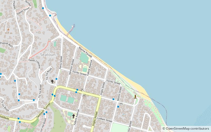
Worser Bay Beach, Wellington
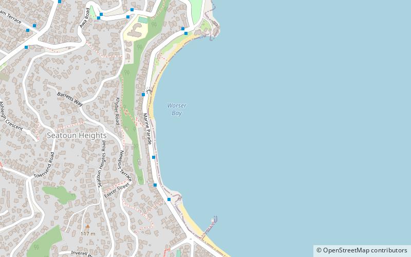
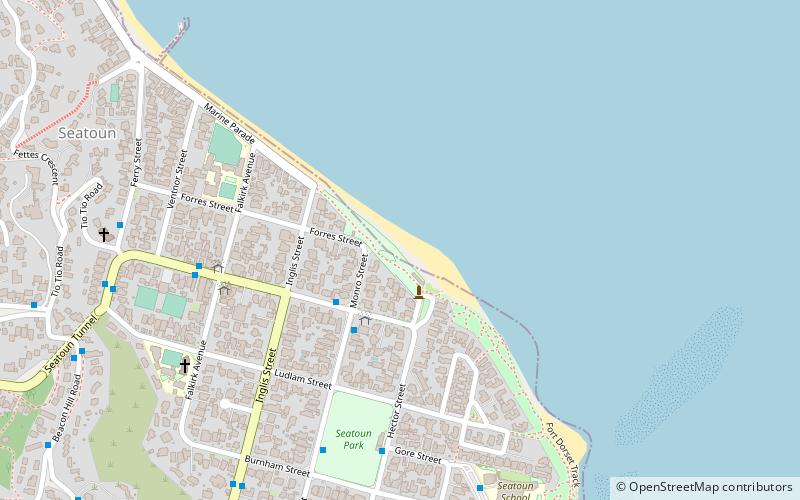
Map
Facts and practical information
Worser Bay Beach is a place located in Wellington (Wellington region) and belongs to the category of beach.
It is situated at an altitude of 0 feet, and its geographical coordinates are 41°18'57"S latitude and 174°49'48"E longitude.
Planning a visit to this place, one can easily and conveniently get there by public transportation. Worser Bay Beach is a short distance from the following public transport stations: Wellington Harbour Ferry (ferry, 6 min walk), Broadway at Hobart Street (bus, 29 min walk).
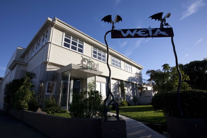
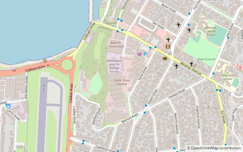
Among other places and attractions worth visiting in the area are: Seatoun Beach (beach, 11 min walk), Wahine Memorial (memorial, 14 min walk), The Weta Cave (classes and workshops, 19 min walk).
Coordinates: 41°18'57"S, 174°49'48"E
Address
Wellington
ContactAdd
Social media
Add
Getting there by public transportation
Public transportation stops near this location
- Bus
- Ferry
 Bus
Bus
- Calculate routeWellington Harbour Ferry 6 min walk
- Calculate routeBroadway at Hobart Street 29 min walk
- Calculate routeHobart Street at Broadway 29 min walk
- Calculate routeWellington Airport 34 min walk
Day trips

Frequently Asked Questions (FAQ)
Which popular attractions are close to Worser Bay Beach?
Nearby attractions include Seatoun Beach, Wellington (11 min walk), Wahine Memorial, Wellington (14 min walk), The Weta Cave, Wellington (19 min walk), Stone Street Studios, Wellington (23 min walk).
How to get to Worser Bay Beach by public transport?
The nearest stations to Worser Bay Beach:
Ferry
Bus
Ferry
- Wellington Harbour Ferry (6 min walk)
Bus
- Broadway at Hobart Street • Lines: 2 (29 min walk)
- Hobart Street at Broadway • Lines: 2 (29 min walk)