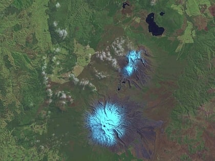
Tongariro Alpine Crossing, Tongariro National Park
Facts and practical information
The Tongariro Alpine Crossing is a world-renowned hiking trail that weaves through the heart of Tongariro National Park, a dual World Heritage site located in New Zealand. This 19.4-kilometer trek is often described as one of the greatest single-day walks on the planet, offering an array of spectacular volcanic landscapes and breathtaking panoramic views.
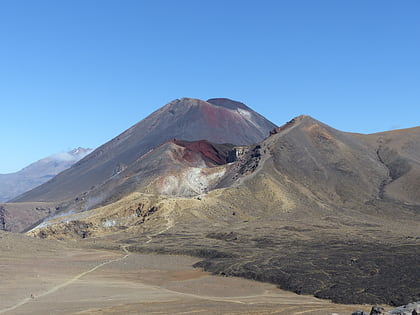
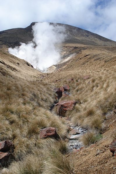
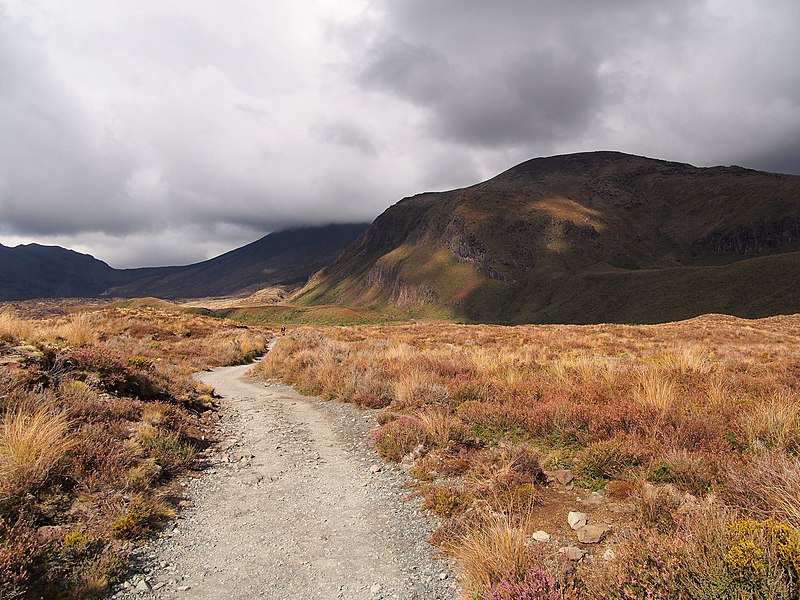
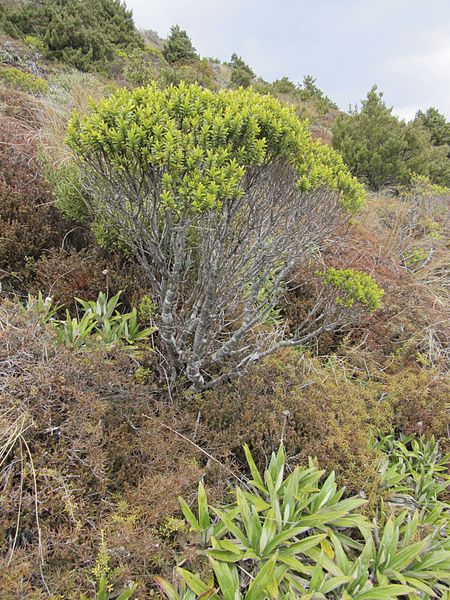
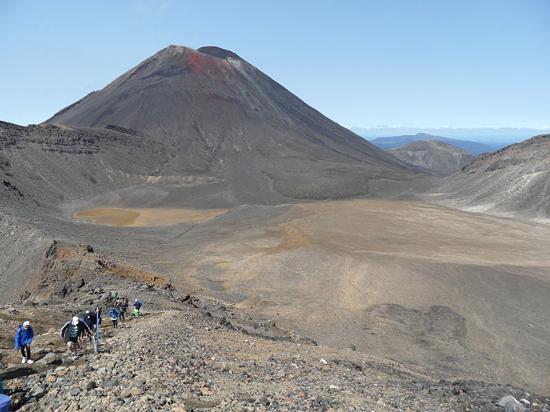
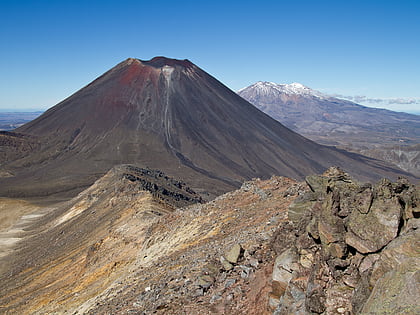
The crossing passes over the multi-cratered active volcanic terrain of Mount Tongariro, a sacred area to the Maori people, and near Mount Ngauruhoe, which famously doubled as Mount Doom in the "Lord of the Rings" films. The track takes hikers through varied environments, from alpine meadows to mountain springs, and along the edges of old lava flows.
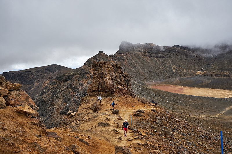
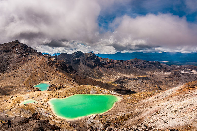
The journey begins at the Mangatepopo Valley and climbs to the saddle between Mount Ngauruhoe and Mount Tongariro. One of the highlights is the Emerald Lakes, whose vibrant colors are due to minerals leached from the adjoining thermal area. The trek continues past the expansive North Crater, Central Crater, and the active Red Crater, reaching the highest point at 1,886 meters above sea level.
Given the alpine environment, the weather on the crossing can be unpredictable and can change rapidly. It is essential for hikers to be well-prepared with appropriate clothing, food, and water, and to check the weather forecast before setting out. The track is well-marked, but it is advised to start early in the day to ensure enough daylight hours to complete the hike safely.
The Tongariro Alpine Crossing is accessible most of the year, but during the winter months (June to October), the trail is often snow-covered, and alpine skills and equipment are required. Guided tours are available and recommended during this period.
Tongariro Alpine Crossing – popular in the area (distance from the attraction)
Nearby attractions include: Mount Ngauruhoe, Mount Tongariro, Tama Lakes.
