Mount Arthur, Kahurangi National Park
Map

Map

Facts and practical information
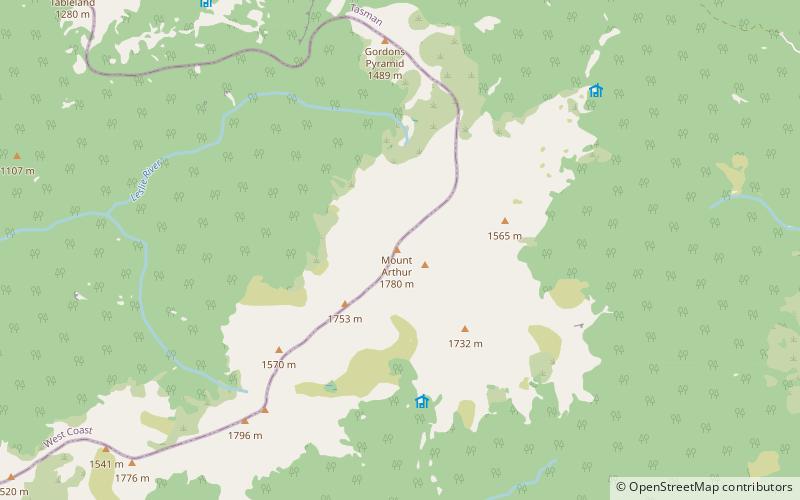
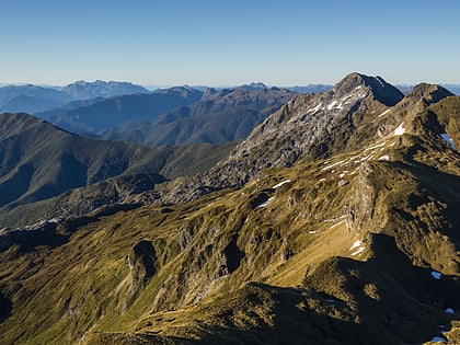
Mount Arthur is in the Arthur Range in the north western area of the South Island of New Zealand. Mount Arthur, named after Captain Arthur Wakefield, lies within Kahurangi National Park and has a peak elevation of 1,795 metres. ()
Elevation: 5889 ftCoordinates: 41°13'6"S, 172°40'55"E
Day trips
Mount Arthur – popular in the area (distance from the attraction)
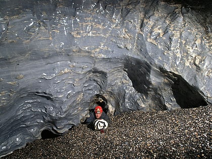
Nearby attractions include: Nettlebed Cave.

