Waitawa Regional Park

Gallery (1)
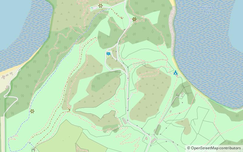
Map
Map
Facts and practical information
Waitawa Regional Park is a regional park situated on the coast of Tamaki Strait, east of Auckland, New Zealand. It is located in Franklin in the Auckland Region, near Kawakawa Bay and Clevedon, about 50 kilometres from central Auckland. ()
Created: 2013Elevation: 243 ft a.s.l.Coordinates: 36°56'20"S, 175°8'24"E
Location
Auckland
ContactAdd
Social media
Add
Day trips

