Roxburgh Dam
Map

Gallery

Facts and practical information
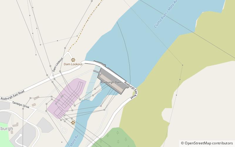
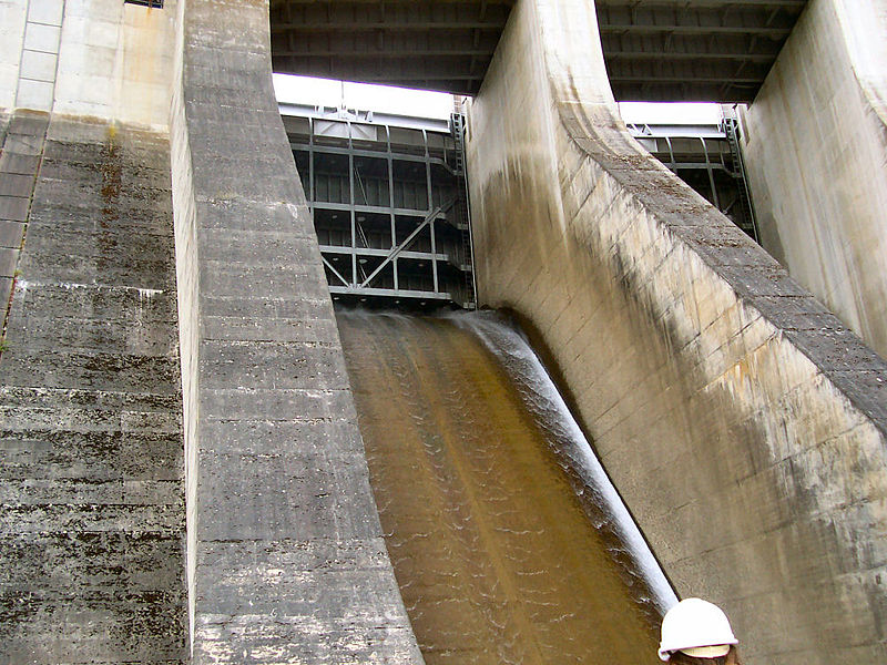
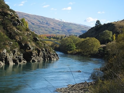
The Roxburgh Dam is the earliest of the large hydroelectric projects in the lower half of the South Island of New Zealand. It lies across the Clutha River / Mata-Au, some 160 kilometres from Dunedin, some 9 kilometres to the north of the town of Roxburgh. The settlement of Lake Roxburgh Village is close to the western edge of the dam. ()
Alternative names: Length: 1175 ftHeight: 249 ftReservoir area: 2.32 mi²Coordinates: 45°28'33"S, 169°19'23"E
Location
Otago
ContactAdd
Social media
Add
Day trips
Roxburgh Dam – popular in the area (distance from the attraction)
Nearby attractions include: Lake Roxburgh, Roxburgh.


