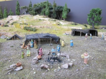
Mitai Maori Village - Rotorua New Zealand, Rotorua
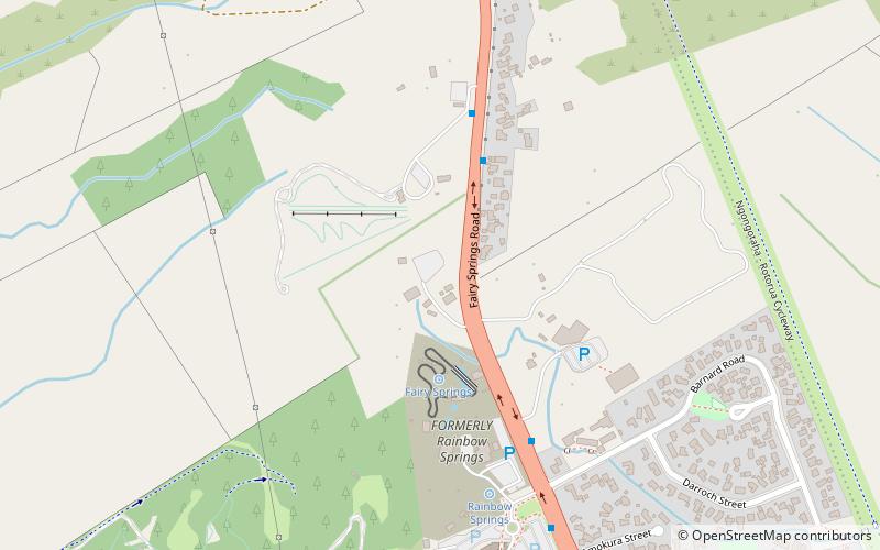
Map
Map

Facts and practical information
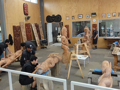
Mitai Maori Village - Rotorua New Zealand (address: 196 Fairy Springs Rd) is a place located in Rotorua (Bay of Plenty region) and belongs to the category of cultural tours, tours, museum.
It is situated at an altitude of 991 feet, and its geographical coordinates are 38°6'23"S latitude and 176°13'16"E longitude.
Among other places and attractions worth visiting in the area are: OGO Rotorua (game and entertainment center, 3 min walk), Mini Golf Rotorua (golf, 10 min walk), Koutu (locality, 20 min walk).
Coordinates: 38°6'23"S, 176°13'16"E
Day trips
Mitai Maori Village - Rotorua New Zealand – popular in the area (distance from the attraction)
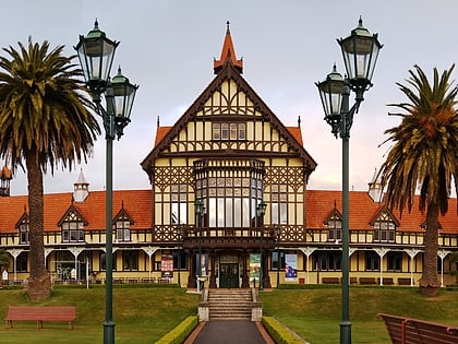
Nearby attractions include: Polynesian Spa, Rotorua Museum, Government Gardens, Lake Rotorua.
