Arrowsmith Range
Map

Map

Facts and practical information
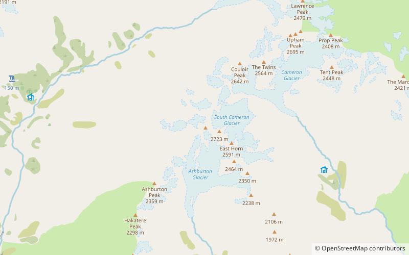
The Arrowsmith Range is a mountain range in the South Island of New Zealand. The range runs from southwest to northeast, parallel to the main ranges of the Southern Alps / Kā Tiritiri o te Moana. At the northeastern end, the range terminates at Jagged Peak, whence a ridge connects to the Jollie Range. The lower Potts Range is a continuation at the southwestern end of the range. The highest point on the range is Mount Arrowsmith. ()
Maximum elevation: 32808 ftElevation: 9124 ftCoordinates: 43°21'25"S, 170°58'41"E
Location
Canterbury
ContactAdd
Social media
Add
