Mangapohue Natural Bridge, Waitomo
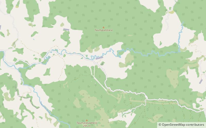
Map

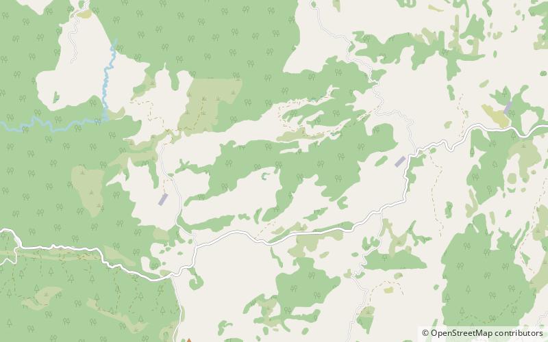
Map

Facts and practical information
The Mangapohue Natural Bridge consists of two rock arches formed by the Mangapohue Stream in the Marokopa River valley near Waitomo, New Zealand. ()
Elevation: 584 ft a.s.l.Coordinates: 38°15'37"S, 174°54'4"E
Day trips
Mangapohue Natural Bridge – popular in the area (distance from the attraction)
Nearby attractions include: Castle Craig Rock, Ruakuri Cave.


