Tonga Island
Map

Map

Facts and practical information
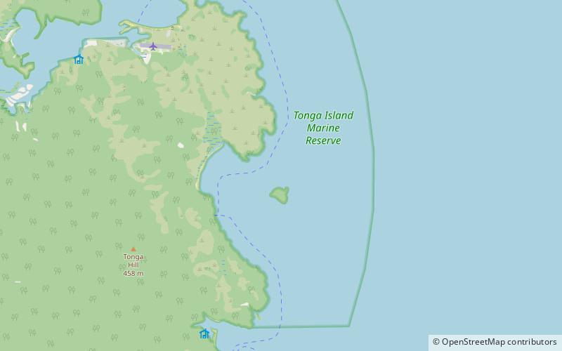
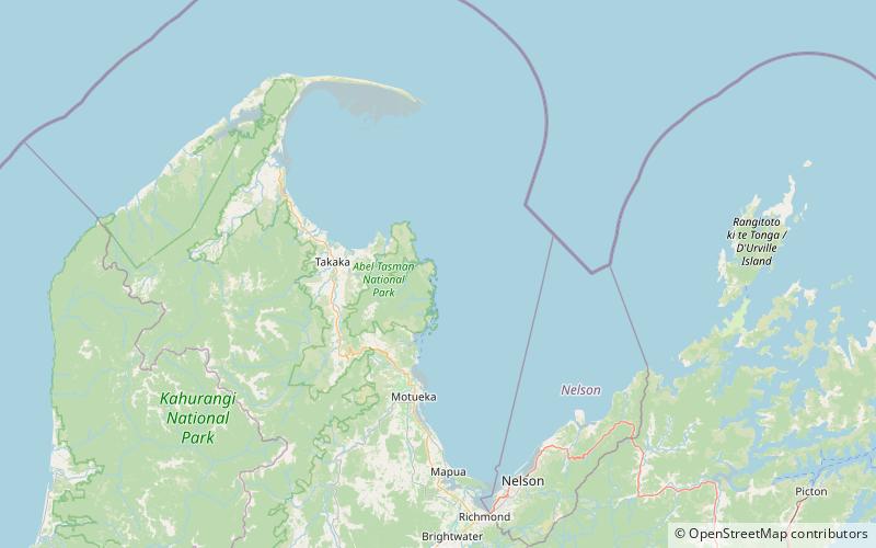
Tonga Island is a small island in Tasman Bay / Te Tai-o-Aorere, off the northern coast of the South Island of New Zealand. It lies within the Abel Tasman National Park, about 1 kilometre off Onetahuti Beach. The island has a flourishing fur seal colony, and is surrounded by the Tonga Island Marine Reserve, which was inaugurated in 1993. ()
Area: 37.07 acres (0.0579 mi²)Maximum elevation: 272 ftCoordinates: 40°53'12"S, 173°4'1"E
Location
Tasman
ContactAdd
Social media
Add
Day trips
Tonga Island – popular in the area (distance from the attraction)
Nearby attractions include: Abel Tasman Coast Track, Tonga Island Marine Reserve.


