Peel Forest Park Scenic Reserve
Map

Map

Facts and practical information
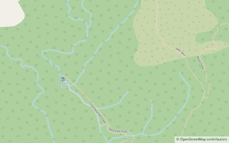
The Peel Forest Park Scenic Reserve is a 769-hectare forest reserve in the Canterbury region in the South Island of New Zealand. It is located near the Rangitata River and is in the foothills of the Southern Alps. The park is managed by the Department of Conservation as a scenic reserve, not a forest park. ()
Established: 1909 (117 years ago)Elevation: 2008 ft a.s.l.Coordinates: 43°53'27"S, 171°14'6"E
Location
Canterbury
ContactAdd
Social media
Add
Day trips
Peel Forest Park Scenic Reserve – popular in the area (distance from the attraction)
Nearby attractions include: Mount Peel.

