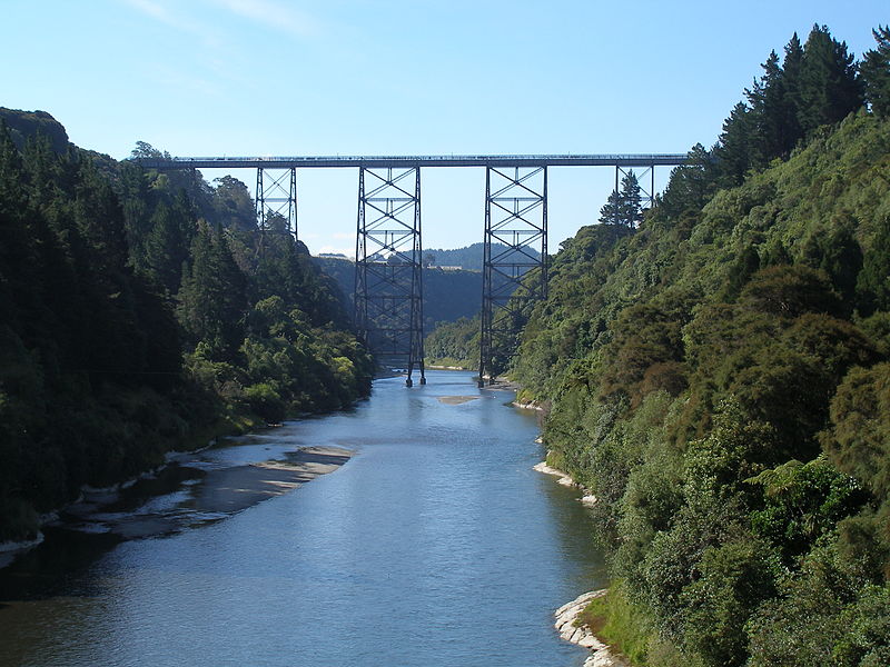
Mohaka Viaduct
Map

Gallery

Facts and practical information
The Mohaka Viaduct is a railway viaduct spanning the Mohaka River in northern Hawke’s Bay, on the East Coast of the North Island of New Zealand, near the small settlement of Raupunga. It was built between 1930 and 1937 by the Public Works Department for the New Zealand Railways Department. It is 276.8 metres in length, and at 95 metres, is the tallest viaduct in Australasia. ()
Opened: 1 July 1937 (88 years ago)Length: 908 ftHeight: 312 ftCoordinates: 39°4'7"S, 177°7'34"E
Location
Hawke's Bay
ContactAdd
Social media
Add
