Barton's Bush, Upper Hutt
Map

Map

Facts and practical information
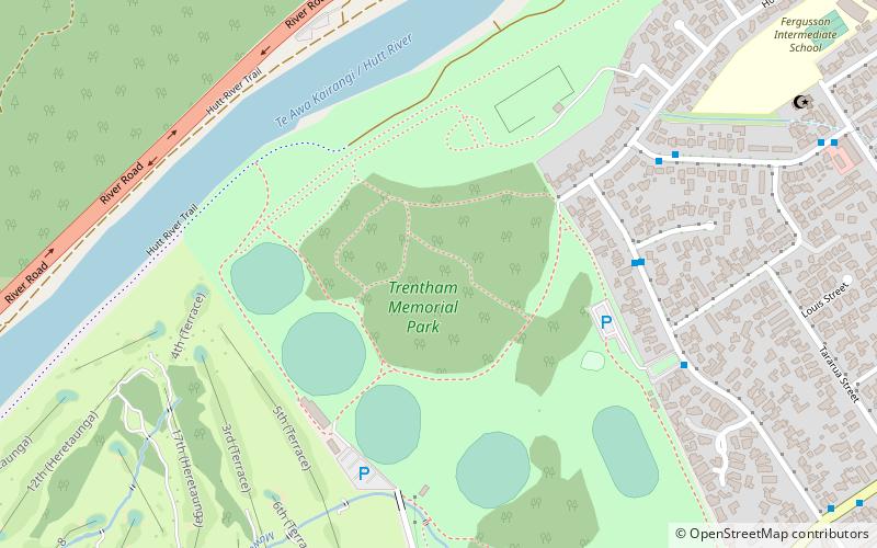
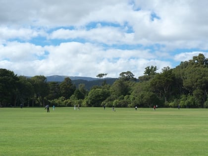
Barton's Bush, in Trentham Memorial Park, is the largest remaining area of lowland mixed podocarp/broadleaf forest in the Hutt Valley of New Zealand. Named after Richard Barton who settled in the area in 1841, it was his desire that this section of the native forest should remain whilst the city of Upper Hutt gradually took shape and land was cleared for farming and settling. ()
Coordinates: 41°7'52"S, 175°1'44"E
Address
Upper Hutt
ContactAdd
Social media
Add
Day trips
Barton's Bush – popular in the area (distance from the attraction)
Nearby attractions include: St John's Anglican Church, Upper Hutt Blockhouse, Royal Wellington Golf Club, Trentham Memorial Park.
Frequently Asked Questions (FAQ)
Which popular attractions are close to Barton's Bush?
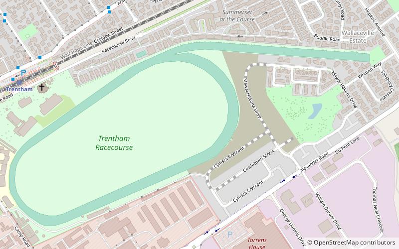
Nearby attractions include Trentham Memorial Park, Upper Hutt (2 min walk), St John's Anglican Church, Upper Hutt (20 min walk), Trentham Racecourse, Upper Hutt (24 min walk).
How to get to Barton's Bush by public transport?
The nearest stations to Barton's Bush:
Bus
Train
Bus
- Brentwood Street at Hector Grove • Lines: 114 (6 min walk)
- Rimutaka Street • Lines: 114 (7 min walk)
Train
- Trentham (18 min walk)
- Heretaunga (21 min walk)


