Bethune's Gully, Dunedin
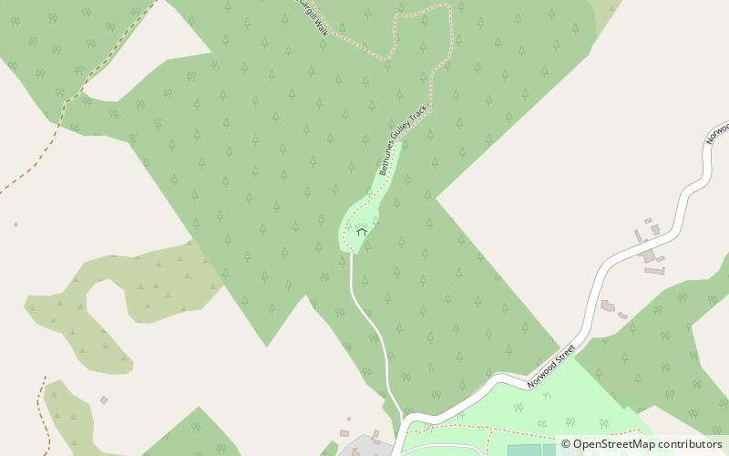
Map
Facts and practical information
Bethune's Gully is notable geological feature of northern Dunedin, in the South Island of New Zealand. It is located close to the suburb of Normanby towards the northern end of North East Valley. It preserves a number of acres of very old-growth forest and a large stand of exotic Douglas fir, and is an ecosystem directly below the cloud forest on the upper slopes of Mount Cargill. The gully was formed by the upper reaches of Lindsay Creek, a tributary of the Water of Leith which flows along North East Valley. ()
Elevation: 427 ft a.s.l.Coordinates: 45°49'57"S, 170°33'7"E
Address
Dunedin
ContactAdd
Social media
Add
Day trips
Bethune's Gully – popular in the area (distance from the attraction)
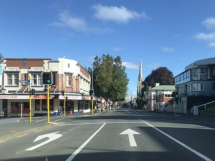
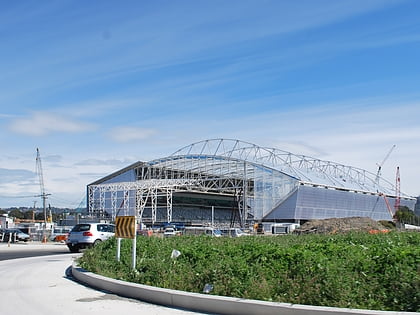
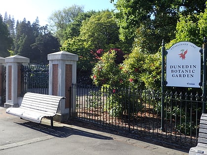
Nearby attractions include: George Street, Forsyth Barr Stadium, Mount Cargill, Dunedin Botanic Garden.
Frequently Asked Questions (FAQ)
How to get to Bethune's Gully by public transport?
The nearest stations to Bethune's Gully:
Bus
Bus
- Normanby Terminus • Lines: 8N (24 min walk)
- North Rd, 440 • Lines: 8S (24 min walk)
