Mount Murchison, Arthur's Pass National Park

Map
Facts and practical information
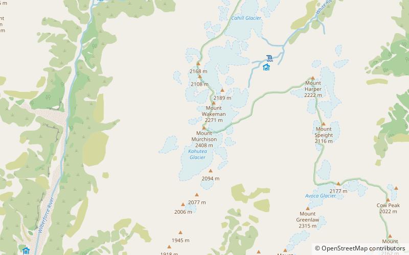
Mount Murchison is a mountain in the Southern Alps in the Canterbury region of New Zealand. It is the highest point of the Shaler Range, which runs approximately north–south to the east of the Wilberforce River. A col to the east of the peak separates two glaciers, the Kahutea Glacier to the south and the White Glacier to the Northeast. ()
First ascent: 1913Elevation: 7900 ftProminence: 3835 ftCoordinates: 43°0'14"S, 171°22'37"E
Address
Arthur's Pass National Park
ContactAdd
Social media
Add
Day trips
Mount Murchison – popular in the area (distance from the attraction)
Nearby attractions include: Mount Damfool.
