Trek Zone

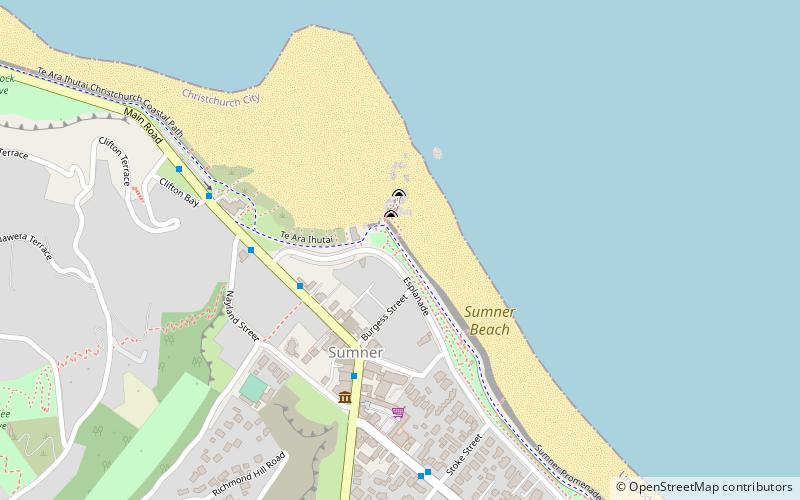
Sumner village, Sumner

#1 among attractions in Sumner

Beach
Sumner village location map
Map

Facts and practical information

Sumner village is a place located in Sumner (Canterbury region) and belongs to the category of beach.

It is situated at an altitude of 7 feet, and its geographical coordinates are 43°34'1"S latitude and 172°45'36"E longitude.

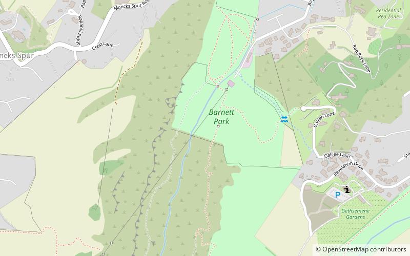
Among other places and attractions worth visiting in the area are: LEstrange Gallery (art gallery, 6 min walk), Moncks Cave (nature, 28 min walk), Barnett Park (park, 31 min walk).

Coordinates: 43°34'1"S, 172°45'36"E
Address

SumnerSumner New Zealand

Contact
Social media
Add
Day trips

Sumner village – popular in the area (distance from the attraction)

Nearby attractions include: Moncks Cave, LEstrange Gallery, Barnett Park, Taylor's Mistake.

  • moncks cave1.1 miW
  • lestrange gallery sumner~1060 ftS
  • barnett park location map
    1.2 miW
  • taylors mistake location map
    1.4 miSE

Where to next? Visit canterbury Canterbury region page or discover the top tourist attractions in New Zealand.