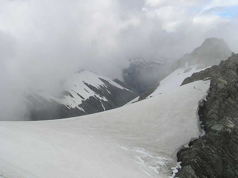
Mount Adams

Gallery (2)
Map
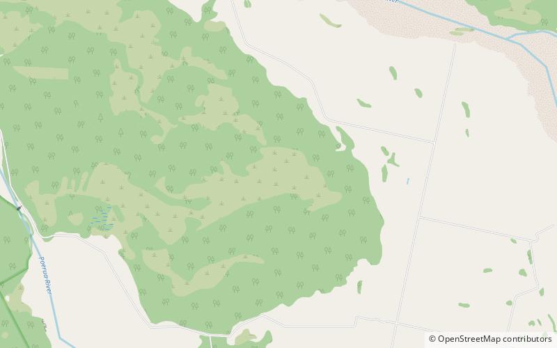
Map
Gallery
Facts and practical information
Mount Adams is a mountain in the West Coast region of New Zealand's South Island. The summit is roughly 19 km south of Harihari and reaches 2,208 metres in height. ()
Elevation: 7244 ftProminence: 2474 ftCoordinates: 43°6'2"S, 170°31'41"E
Location
West Coast
ContactAdd
Social media
Add
Day trips

