Lake Ruataniwha, Twizel
Map

Map

Facts and practical information
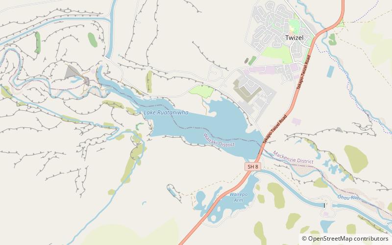
Lake Ruataniwha is an artificial lake in the Mackenzie Basin in the South Island of New Zealand. It was formed in 1977–1981 as part of the Waitaki hydroelectric project. It lies on the traditional boundary of the Canterbury and Otago provinces, with the town of Twizel two kilometres to the north. ()
Elevation: 1512 ft a.s.l.Coordinates: 44°16'44"S, 170°3'54"E
Address
Twizel
ContactAdd
Social media
Add
Day trips
Lake Ruataniwha – popular in the area (distance from the attraction)
Nearby attractions include: Cycle Journeys, High Country Salmon.


