Milford Track, Fiordland National Park
Map
Gallery

Facts and practical information
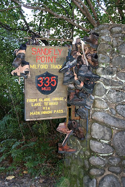
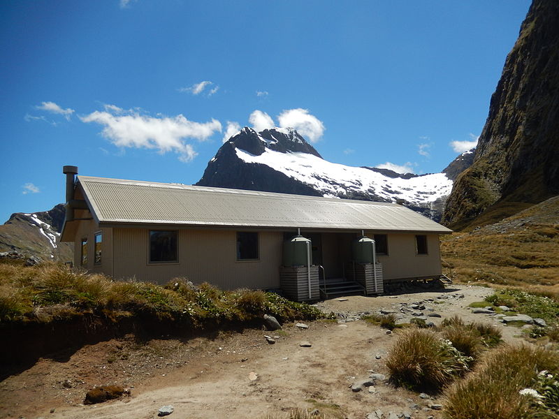
The Milford Track is a hiking route in New Zealand, located amidst mountains and temperate rain forest in Fiordland National Park in the southwest of the South Island. The 53.5 km hike starts at Glade Wharf at the head of Lake Te Anau and finishes in Milford Sound at Sandfly Point, traversing rainforests, wetlands, and an alpine pass. ()
Alternative names: Length: 33.24 miMaximum elevation: 3740 ftSeason: Summer - AutumnCoordinates: 44°54'18"S, 167°54'7"E
Address
Fiordland National Park
ContactAdd
Social media
Add


