Mt Crichton Loop Track, Queenstown
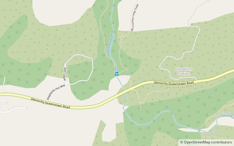
Map
Facts and practical information
Mt Crichton Loop Track is a place located in Queenstown (Otago region) and belongs to the category of hiking trail, outdoor activities, park.
It is situated at an altitude of 1237 feet, and its geographical coordinates are 45°3'58"S latitude and 168°31'59"E longitude.
Among other places and attractions worth visiting in the area are: Lake Wakatipu (nature, 32 min walk), Walter Peak (nature, 116 min walk), Moke Lake (nature, 130 min walk).
Elevation: 1237 ft a.s.l.Coordinates: 45°3'58"S, 168°31'59"E
Day trips


