Lake Lyndon

Gallery (1)
Map
Map
Facts and practical information
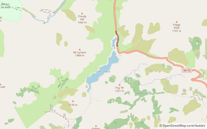
Lake Lyndon is a small lake in the Canterbury region of New Zealand's South Island. It is located near Porters Pass on State Highway 73 after Springfield heading into the Southern Alps. The lake regularly freezes in winter due to its elevation and location on the outer border of the Southern Alps. ()
Alternative names: Area: 217.45 acres (0.3398 mi²)Maximum depth: 60 ftElevation: 2759 ft a.s.l.Coordinates: 43°17'60"S, 171°41'60"E
Location
Canterbury
ContactAdd
Social media
Add
Day trips


