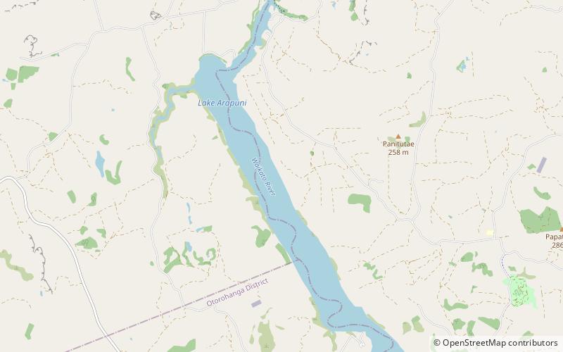
Lake Arapuni

Map
Facts and practical information
Lake Arapuni is one of several artificial lakes formed as part of a hydroelectricity scheme on the Waikato River in the North Island of New Zealand. It is 65 km southeast of Hamilton, to the north of Mangakino. ()
Elevation: 387 ft a.s.l.Coordinates: 38°7'60"S, 175°38'17"E
Location
Waikato
ContactAdd
Social media
Add
Day trips
Lake Arapuni – popular in the area (distance from the attraction)
Nearby attractions include: Arapuni Suspension Bridge.
