Lake Coleridge

Gallery (2)
Map
Map
Gallery
Facts and practical information
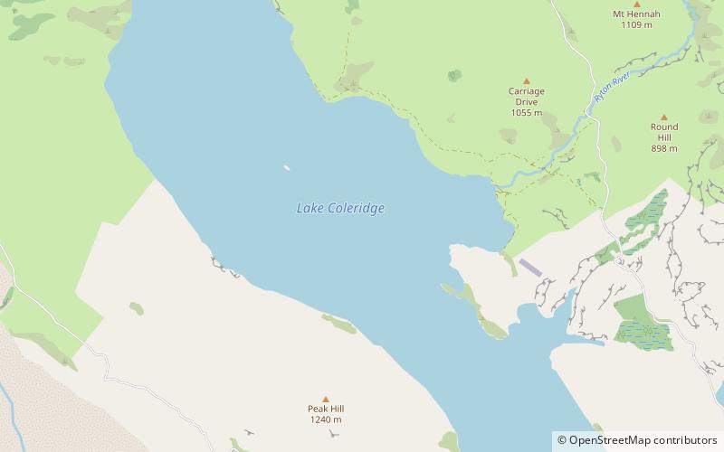
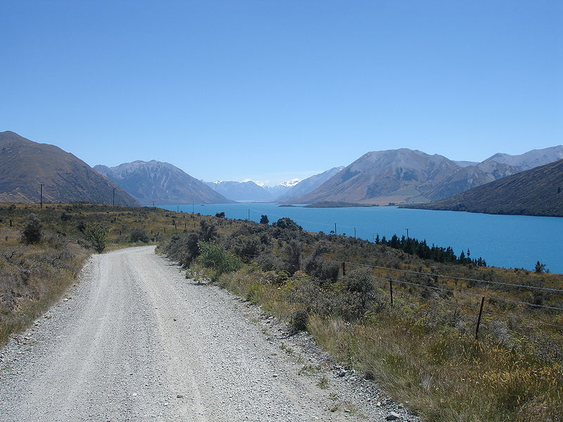
Lake Coleridge is located in inland Canterbury, in New Zealand's South Island. Located 35 kilometres to the northwest of Methven, it has a surface area of 47 square kilometres. The lake is situated in an over-deepened valley formed by a glacier over 20,000 years ago in the Pleistocene era. It currently has no natural outflows. There is a small settlement at the lake. ()
Alternative names: Area: 12.36 mi²Maximum depth: 656 ftElevation: 1673 ft a.s.l.Coordinates: 43°17'36"S, 171°29'56"E
Location
Canterbury
ContactAdd
Social media
Add