Canterbury Earthquake National Memorial, Christchurch
Map
Map

Facts and practical information
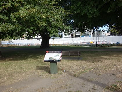
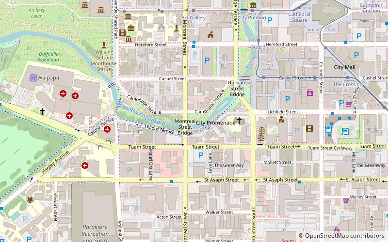
The Canterbury Earthquake National Memorial is the Crown's official memorial for those killed or seriously injured in the 22 February 2011 Christchurch earthquake. It is located on both sides of the Avon River downstream from the Montreal Street bridge. The memorial opened on 22 February 2017, the sixth anniversary of the earthquake. ()
Coordinates: 43°32'4"S, 172°37'52"E
Day trips
Canterbury Earthquake National Memorial – popular in the area (distance from the attraction)
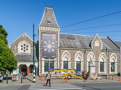
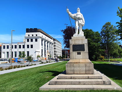
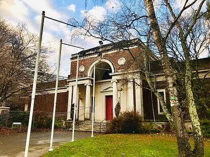
Nearby attractions include: Re:START, Canterbury Museum, Statue of Robert Falcon Scott, Robert McDougall Art Gallery.
Frequently Asked Questions (FAQ)
When is Canterbury Earthquake National Memorial open?
Canterbury Earthquake National Memorial is open:
- Monday 24h
- Tuesday 24h
- Wednesday 24h
- Thursday 24h
- Friday 24h
- Saturday 24h
- Sunday 24h
Which popular attractions are close to Canterbury Earthquake National Memorial?
Nearby attractions include Church of St Michael and All Angels, Christchurch (3 min walk), Bridge of Remembrance, Christchurch (4 min walk), Antigua Boat Sheds, Christchurch (4 min walk), Christchurch City Council, Christchurch (6 min walk).
How to get to Canterbury Earthquake National Memorial by public transport?
The nearest stations to Canterbury Earthquake National Memorial:
Bus
Tram
Train
Bus
- Hereford St near Montreal St • Lines: 17 (5 min walk)
- Bus Interchange • Lines: 17 (9 min walk)
Tram
- Stop (7 min walk)
- Stop 3 (6 min walk)
Train
- Christchurch (31 min walk)
