Māngere Bridge, Auckland
Map

Gallery
Facts and practical information
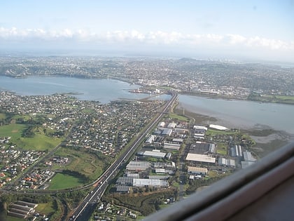
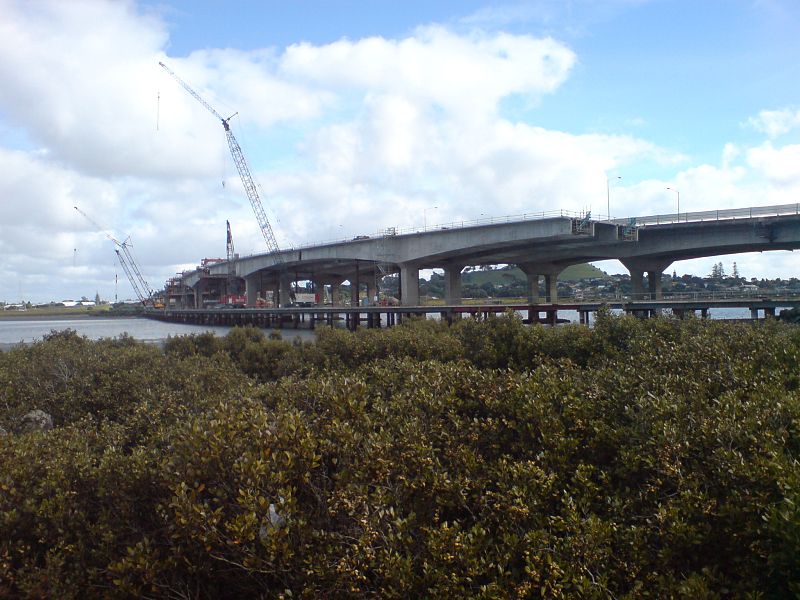
Māngere Bridge, officially also called the Manukau Harbour Crossing, is a dual motorway bridge over the Manukau Harbour in south-western Auckland, New Zealand, crossing between the suburb also known as Māngere Bridge and the suburb of Onehunga. ()
Coordinates: 36°55'60"S, 174°47'17"E
Address
Central Auckland (Onehunga)Auckland
ContactAdd
Social media
Add
Day trips
Māngere Bridge – popular in the area (distance from the attraction)
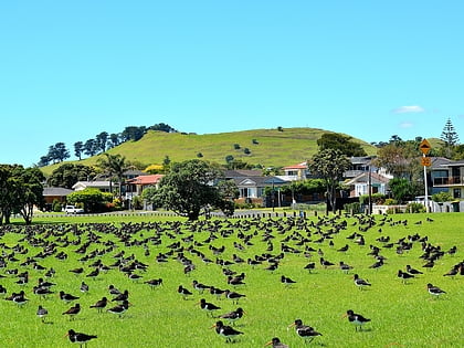
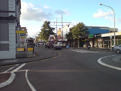
Nearby attractions include: Dress Smart, Māngere Mountain, Onehunga, Te Hopua a Rangi.
Frequently Asked Questions (FAQ)
Which popular attractions are close to Māngere Bridge?
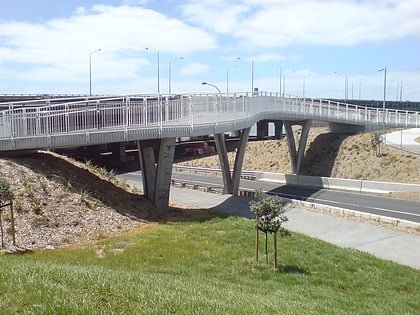
Nearby attractions include Onehunga Harbour Road Bridge, Auckland (5 min walk), Te Hopua a Rangi, Auckland (8 min walk), Onehunga, Auckland (21 min walk), Enchanted Forest Mini Golf, Auckland (21 min walk).
How to get to Māngere Bridge by public transport?
The nearest stations to Māngere Bridge:
Train
Bus
Train
- Onehunga (13 min walk)
- Te Papapa (30 min walk)
Bus
- Onehunga Transport Centre (18 min walk)
- 8581-Platform 1a • Lines: 309, 309X (18 min walk)
