Rakaia Bridge
Map

Gallery

Facts and practical information
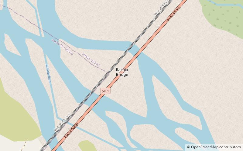
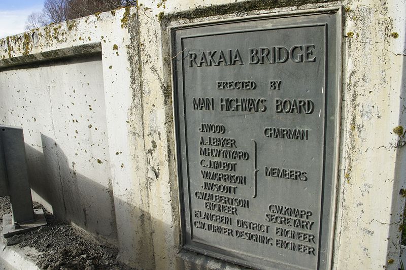
The Rakaia Bridge is New Zealand's longest road bridge and crosses the Rakaia River, one of Canterbury's large braided rivers. The present bridge was opened in 1939 and replaced an earlier combined road and rail bridge from 1873. The present road bridge is just downstream from the rail bridge and forms part of State Highway 1. ()
Length: 5762 ftWidth: 21 ftCoordinates: 43°44'38"S, 172°2'17"E
Location
Canterbury
ContactAdd
Social media
Add
Day trips
Rakaia Bridge – popular in the area (distance from the attraction)
Nearby attractions include: Rakaia.

