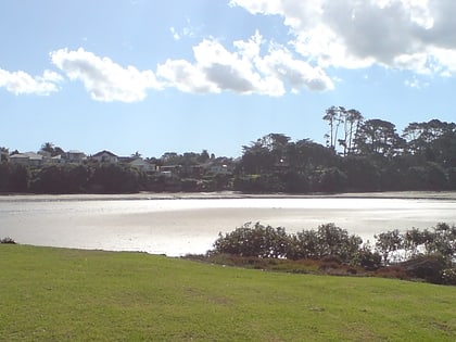
Meola Reef, Auckland
Map

Gallery
Facts and practical information
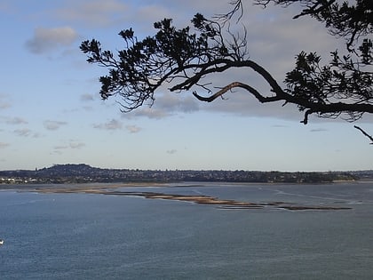
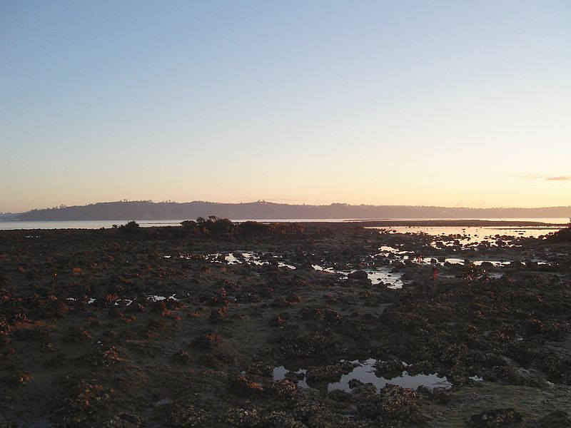
Meola Reef, or Te Tokaroa in Māori, is a lava flow forming a reef peninsula across part of Auckland's Waitemata Harbour, New Zealand. The reef extends for over 2 kilometres across the harbour, to within 500 metres of Kauri Point on the northern shore. ()
Coordinates: 36°51'3"S, 174°42'40"E
Address
Central Auckland (Westmere)Auckland
ContactAdd
Social media
Add
Day trips
Meola Reef – popular in the area (distance from the attraction)
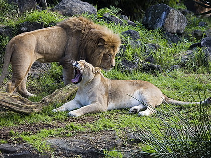
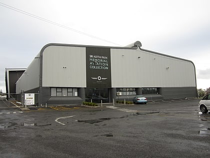
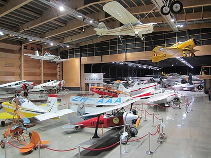
Nearby attractions include: Auckland Zoo, MOTAT, Western Springs Stadium, MOTAT collections.
Frequently Asked Questions (FAQ)
How to get to Meola Reef by public transport?
The nearest stations to Meola Reef:
Bus
Tram
Bus
- Faulder Avenue • Lines: Out (13 min walk)
- Clifton Road • Lines: Out (31 min walk)
Tram
- Motat 2 • Lines: Western Springs Tramway (18 min walk)
- The Auckland Performing Arts Centre • Lines: Western Springs Tramway (23 min walk)
