Baitul Muqeet Mosque, Auckland
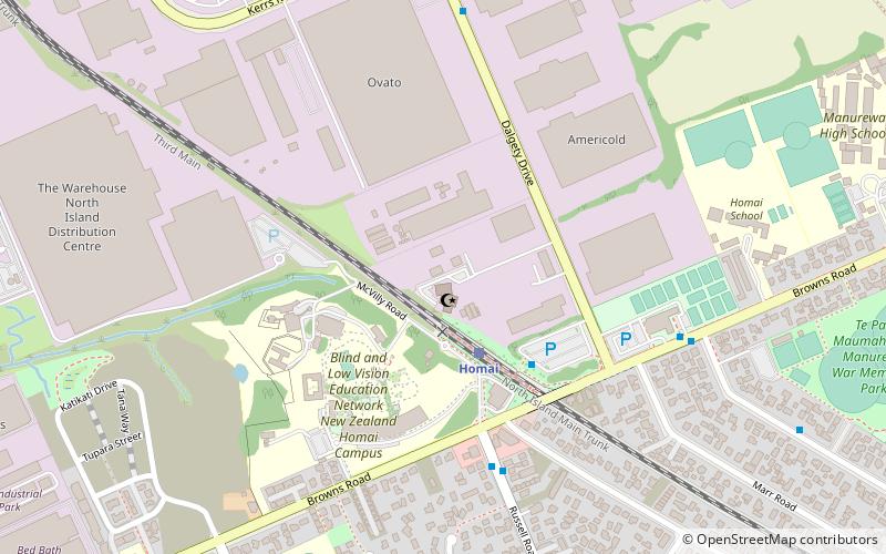
Map

Map

Facts and practical information
Baitul Muqueet Mosque is an Ahmadi Muslim mosque in Manukau, Auckland, New Zealand. At the time of opening of the mosque, it was the largest mosque in the country. ()
Completed: 2013 (13 years ago)Capacity: 500Coordinates: 37°0'44"S, 174°52'26"E
Address
South Auckland (Wiri)Auckland
ContactAdd
Social media
Add
Day trips
Baitul Muqeet Mosque – popular in the area (distance from the attraction)
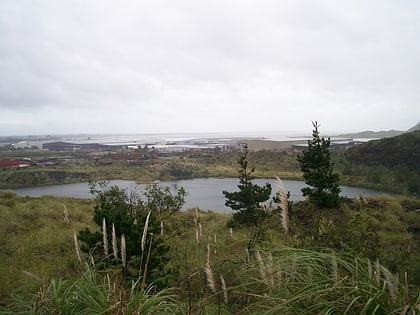
Nearby attractions include: Ash Hill, Matukutūruru, Vector Wero Whitewater Park, Wiri Lava Cave.
Frequently Asked Questions (FAQ)
Which popular attractions are close to Baitul Muqeet Mosque?
Nearby attractions include Ash Hill, Auckland (19 min walk), Wiri Lava Cave, Auckland (24 min walk).
How to get to Baitul Muqeet Mosque by public transport?
The nearest stations to Baitul Muqeet Mosque:
Train
Train
- Homai (3 min walk)


