Castle Rock

Gallery (1)
Map
Map
Facts and practical information
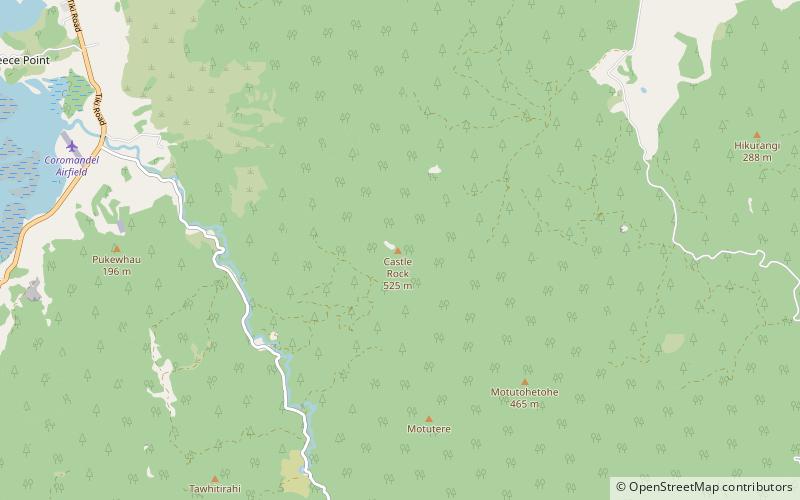
Motutere / Castle Rock is a 525-metre-high mountain south-east of Coromandel, Waikato, New Zealand. It was used for rock climbing, with a number of high bolted routes. ()
Elevation: 1722 ftCoordinates: 36°48'12"S, 175°33'47"E
Location
Waikato
ContactAdd
Social media
Add
Day trips
Castle Rock – popular in the area (distance from the attraction)
Nearby attractions include: Driving Creek Railway.
