Carnley Harbour

Map
Facts and practical information
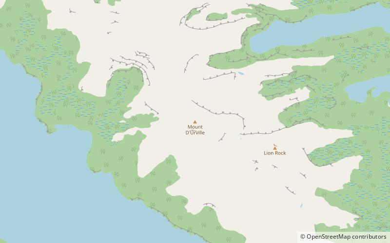
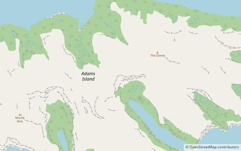
Carnley Harbour is a large natural harbour in the south of the Auckland Islands, a subantarctic part of the New Zealand Outlying Islands. Formed from the drowned crater of an extinct volcano, the harbour separates the mainland of Auckland Island from the smaller Adams Island. The harbour is sometimes referred to as the Adams Straits. ()
Coordinates: 50°50'15"S, 166°4'34"E
Location
Southern Islands
ContactAdd
Social media
Add
Day trips
Carnley Harbour – popular in the area (distance from the attraction)
Nearby attractions include: Mount D'Urville, Mount Dick.

