Claudelands Bridge, Hamilton
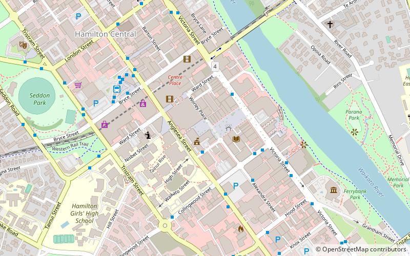
Map
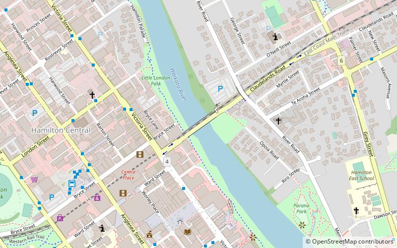
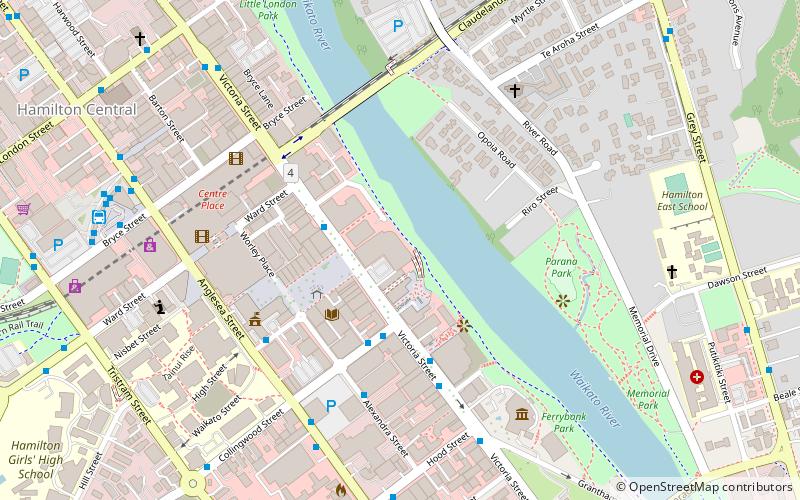
Map

Facts and practical information
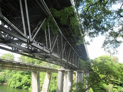
Claudelands Bridge is a dual-lane truss road bridge over the Waikato River, joining Claudelands with Hamilton Central. In 1968 it was converted from the old railway bridge, which had been completed about the end of July 1883. The road bridge was given a Category 2 listing in 1985. ()
Opened: 1883 (143 years ago)Length: 436 ftHeight: 103 ftCoordinates: 37°47'4"S, 175°16'59"E
Day trips
Claudelands Bridge – popular in the area (distance from the attraction)
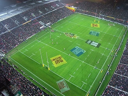
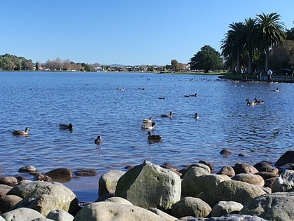
Nearby attractions include: Waikato Stadium, Centre Place, Seddon Park, Lake Rotoroa.
Frequently Asked Questions (FAQ)
Which popular attractions are close to Claudelands Bridge?
Nearby attractions include Skycity Entertainment Group, Hamilton (5 min walk), Wintec, Hamilton (6 min walk), Hamilton Central, Hamilton (6 min walk), Statue of John Fane Charles Hamilton, Hamilton (7 min walk).
How to get to Claudelands Bridge by public transport?
The nearest stations to Claudelands Bridge:
Bus
Train
Bus
- Hamilton Transport Centre (9 min walk)
Train
- Hamilton (28 min walk)
