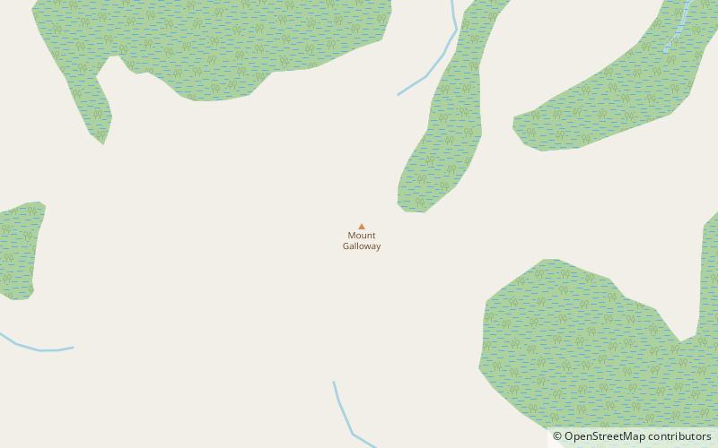
Mount Galloway

Map
Facts and practical information
Mount Galloway is the highest point on Antipodes Island, one of New Zealand's outlying islands. It rises to a height on 366 metres. It is part of the most recently active volcano in the group, but there is no exact eruption date known. Mount Galloway together with Mount Waterhouse are probably formed during the most recent eruption. They are at least as old as the Holocene era. ()
Location
Southern Islands
ContactAdd
Social media
Add
Day trips
Mount Galloway – popular in the area (distance from the attraction)
Nearby attractions include: Antipodes Islands, Bollons Island.

