Mount Herbert
Map

Gallery

Facts and practical information
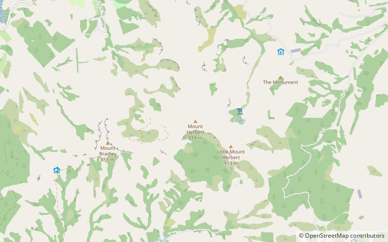
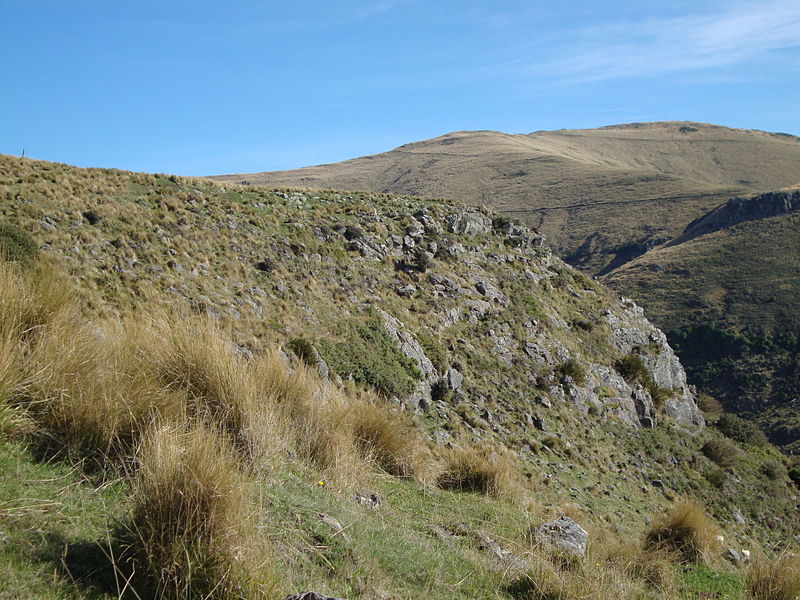
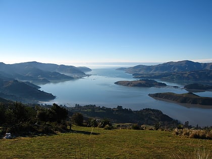
Mount Herbert / Te Ahu Pātiki is, at 919 metres, the highest peak on Banks Peninsula, New Zealand. It is south of Lyttelton Harbour with the township of Diamond Harbour at its northern foot. ()
Coordinates: 43°41'22"S, 172°44'28"E
Location
Canterbury
ContactAdd
Social media
Add
Day trips
Mount Herbert – popular in the area (distance from the attraction)
Nearby attractions include: Lyttelton Harbour / Whakaraupō, Banks Peninsula, Quail Island.


