Lake Tekapo
Map

Gallery

Facts and practical information
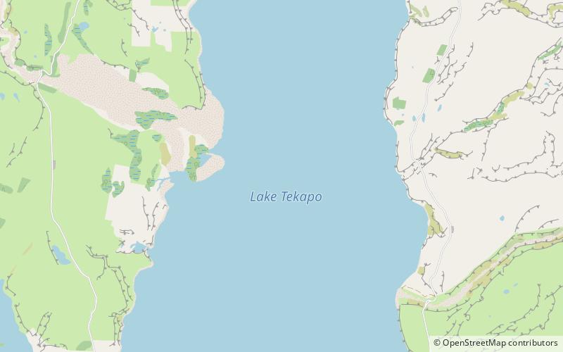
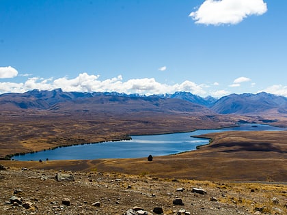
Lake Tekapo is the second-largest of three roughly parallel lakes running north–south along the northern edge of the Mackenzie Basin in the South Island of New Zealand. It covers an area of 83 square kilometres, and is at an altitude of 710 metres above sea level. ()
Alternative names: Area: 33.59 mi²Length: 16.78 miWidth: 3.73 miMaximum depth: 394 ftElevation: 2329 ft a.s.l.Coordinates: 43°53'24"S, 170°31'23"E
Location
Canterbury
ContactAdd
Social media
Add
Day trips
Lake Tekapo – popular in the area (distance from the attraction)
Nearby attractions include: Lake Alexandrina.

